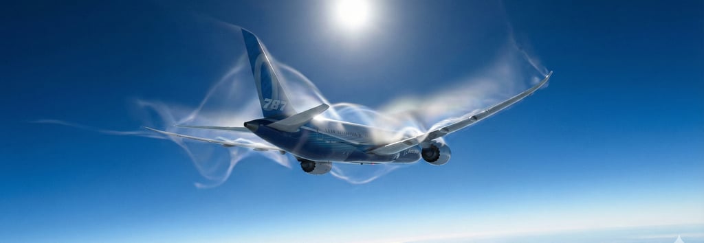
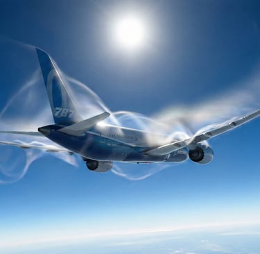
The Invisible Enemy: CAT
Why Is Clear Air Turbulence Increasing? Why does the plane shake in clear blue skies? Understand what Clear Air Turbulence (CAT) is, why it is increasing, and how technology keeps your flight safe.
BLOGRECENTESMETEOROLOGY
1/3/20263 min read
Have you ever experienced a flight that was perfectly smooth, with blue skies outside, when suddenly the aircraft jolted violently without any warning signs or visual cues? If so, you’ve likely encountered Clear Air Turbulence (CAT).
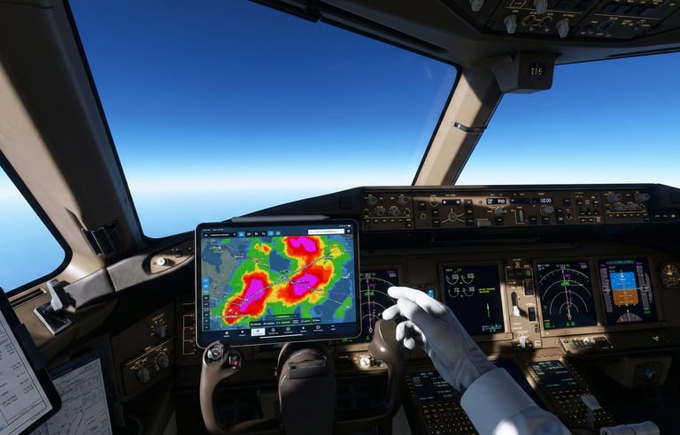
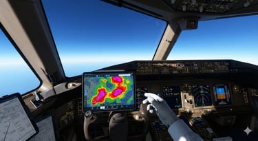
In modern aviation, we have advanced weather radars capable of detecting thunderstorms hundreds of kilometers away. So, why are we still caught off guard? And more importantly: why does this seem to be happening more frequently?
In this article, we dive into the meteorology behind this phenomenon and understand how pilots and technology work together to mitigate it.
What is Clear Air Turbulence?
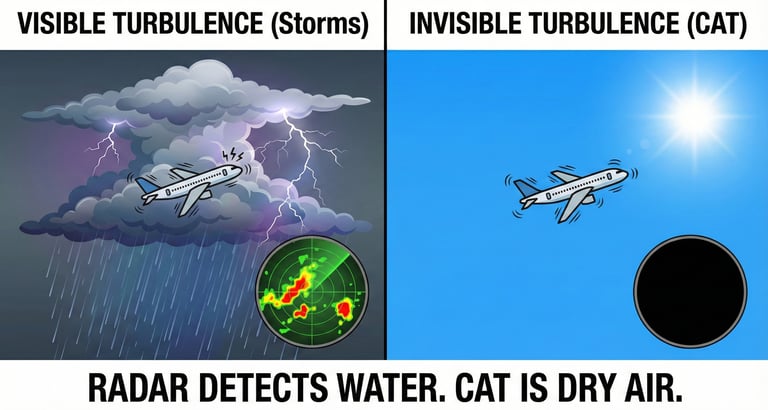
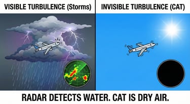
Unlike convective turbulence, which occurs inside Cumulonimbus clouds (thunderstorms) and is visible to both the naked eye and radar, CAT is stealthy. It happens in clear air, devoid of visual clues.
An aircraft’s weather radar works by emitting waves that reflect off water droplets or ice crystals. Since CAT occurs in dry air masses, the radar simply "sees" nothing. To the equipment, the path ahead looks clear, but the physical reality of the air tells a different story.
The Science: Conflict at Altitude
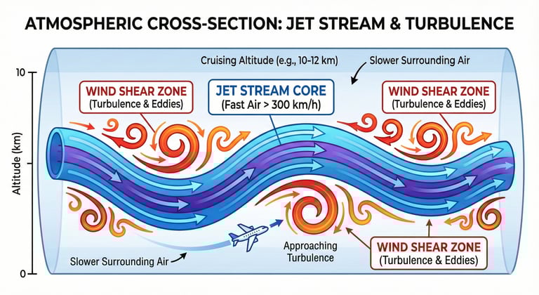
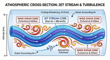
The most common cause of CAT is wind shear associated with Jet Streams. Think of the Jet Stream as a very fast river of air (which can exceed 300 km/h or 160 kts) flowing at the top of the troposphere.
When the fast air of this "river" interacts with the slower air surrounding it, friction is created at the boundaries, generating chaotic eddies of air. It is exactly like the current of a real river creating turbulence along its banks. If an aircraft crosses this boundary, it enters the turbulence zone.
Why Is It Increasing?
Recent studies in aeronautical meteorology indicate an increase in the frequency of severe CAT, particularly over the North Atlantic. The evidence points to climate change.
Global warming is not uniform; the troposphere is warming, which alters the temperature gradients between the equator and the poles. This strengthens and destabilizes the Jet Streams, creating more vertical wind shear. In short: the atmosphere is becoming more energetically unstable at cruising altitudes.
How Do Pilots Protect Themselves?
If the radar doesn't work, how do we avoid the danger? Aviation relies on a combination of forecasting and cooperation:
SIGWX Charts: Before takeoff, we analyze "Significant Weather" charts that display the predicted position of Jet Streams and areas of potential moderate or severe turbulence.
PIREPs (Pilot Reports): This is the most valuable tool. When an aircraft ahead reports "moderate turbulence at flight level 360," all aircraft trailing behind receive this information and can request an altitude change or lateral deviation before hitting the affected zone.
Cutting-Edge Technology: Modern tablet applications (EFBs) now use complex algorithms to cross-reference global atmospheric data and predict CAT with much greater accuracy than in the past.
Conclusion
Clear Air Turbulence remains one of the biggest operational challenges for in-flight comfort. While LIDAR technology (lasers that detect air movement) is being tested for the future, today the best defense is still precaution.
For those in the cockpit, constant vigilance of charts and reports is mandatory. For those traveling in the passenger cabin, the golden rule remains: keep your seatbelt fastened whenever seated, even if the seatbelt sign is off. The air is invisible, and it can change in the blink of an eye.
Did you enjoy it?
Spread the word
Contact
Fale conosco para mais informações.
© 2025. All rights reserved.
About me